The hidden Giant - Using Seismic Imaging to unravel a giant Mass Movement Cascade at Santorini 700 thousand years ago
Researchers from the University of Hamburg and GEOMAR’S PRE COLLAPSE group unravelled a series of massive landslides that occurred 700,000 years ago at Santorini and its surrounding Volcanic Field that subsequently changed its volcanic behaviour.
It is one of the most hazardous volcano-tectonic fields in the world. The Christiana-Santorini-Kolumbo Volcanic Field in the southern Agean Sea poses a major threat to the eastern Mediterranean region. During the last 360 thousand years it produced over 100 explosive eruptions including at least four caldera collapses. It is part of the Hellenic Volcanic Arc, which stretches from Greece in the west towards Turkey in the east and comprises the Kolumbo Volcanic Chain with the submarine Kolumbo Volcano, the extinct Christiana Volcano Island, and the Santorini complex which is famous for its Caldera shape that was created by the last major eruption 3,600 years ago. This eruption, called the Minoan eruption, was one of the largest in the world in the past 10,000 years and might have contributed to the fall of the great Minoan civilisation.
About 700,000 years ago, during Santorini’s early development, a complex series of massive landslides occurred. These events deposited gigantic amounts of sediment in the basins around Santorini and altered the shape of the island and its surroundings. “These events significantly affected the volcanism of Santorini and its neighbouring volcanoes,” explains Jonas Preine from the University of Hamburg, lead author of the study that was published early 2022 together with Jens Karstens from the PRE-COLLAPSE team at GEOMAR and other researchers.
Typically, when volcanic environments are considered, the most important geohazards are volcanic eruptions, earthquakes, lahars, landslides and related tsunamis. If one of these processes triggers another, they are called a geohazard cascade. “We infer from our data that the major collapse events at Santorini and also at the neighbouring Christiana volcano were triggered by an initial rift pulse,” says Preine. A rift pulse is defined as an episode of intensive tectonic movements in a relatively short time - some thousands of years. These tectonic movements likely created a series of major earthquakes that destabilized the flanks of the Christiana volcano and the flank of Santorini. The sudden loading of the collapsed material, then triggered secondary landslides around the cliffs of nascent Santorini. Preine further observed: “The volcanism at Santorini shows a distinct change from relative volcanic dormancy to wide-spread volcanic activity, which led us to the conclusion that the tectonic activity and the unloading triggered a change in volcanic behaviour.” Preine explains that there are different processes that could play a role here: “On the one hand, the sudden unloading of the volcanic system due to the loss of material during the collapse could have triggered a change in the deeper volcanic plumbing system” - the system which transports the magma from the Earth's mantle towards the surface-. “On the other hand, the fracturing of the shallow crust due to the tectonic pulse event might have created pathways for magma ascent.” The researcher concludes that a combination of both effects seems likely.
Since 2006, 3,200 km of high-resolution multi- and single-channel seismic reflection data had been obtained, the latest of which was acquired during a cruise led by Jens Karstens with the research vessel POSEIDON. To gain these information about the subsurface, seismic signals are generated by an air-pulser, which is towed behind a vessel. This pulser generates sound waves that travel through the subsurface and are reflected back to the surface at layer boundaries. Such boundaries are characterised by variations in density and seismic velocity. An array of hydrophones attached to cables towed by a ship, records the amplitude and arrival times of the reflected seismic waves. These are evaluated with the help of computer programs to create a structural image of the subsurface.
Based on this extensive dataset that covers the entire basin system adjacent to Santorini the researchers were able to map the large mass-transport deposit and estimate its volume. The sediment deposits were found all around Santorini. They travelled as far as 60 km away from Santorini into the neighbouring basins and reach thicknesses of over 100 m. Preine explains the characteristics and the architectural features that helped to reconstruct what happened 700 thousand years ago: “When a landslide occurs offshore, we often observe different domains of sedimentary deposition. In the area close to the event there are deposits of a chaotic slump. Further away, turbidite deposits prevail.” These are characterised by gradual changes from coarse- to fine-grained sediment that was deposited by underwater currents of rapidly moving, sediment-laden water moving down a slope. To identify potential sources and pathways of mass transport deposits the researchers interpreted the internal architecture of the deposits and identified the different domains.
The data presented in the study show accurate evidence, that volcanism around the island changed significantly as a result of the mass wasting cascade. Along a tectonic zone of weakness around Santorini, many smaller volcanoes subsequently formed, the remains of which can still be seen under water and on Santorini itself.
This study is the first that shows a direct connection between tectonics, earthquakes, landslides and volcanism and their complex interplay. It highlights the great potential of reflection seismic surveys for the reconstruction of these submarine geohazards.
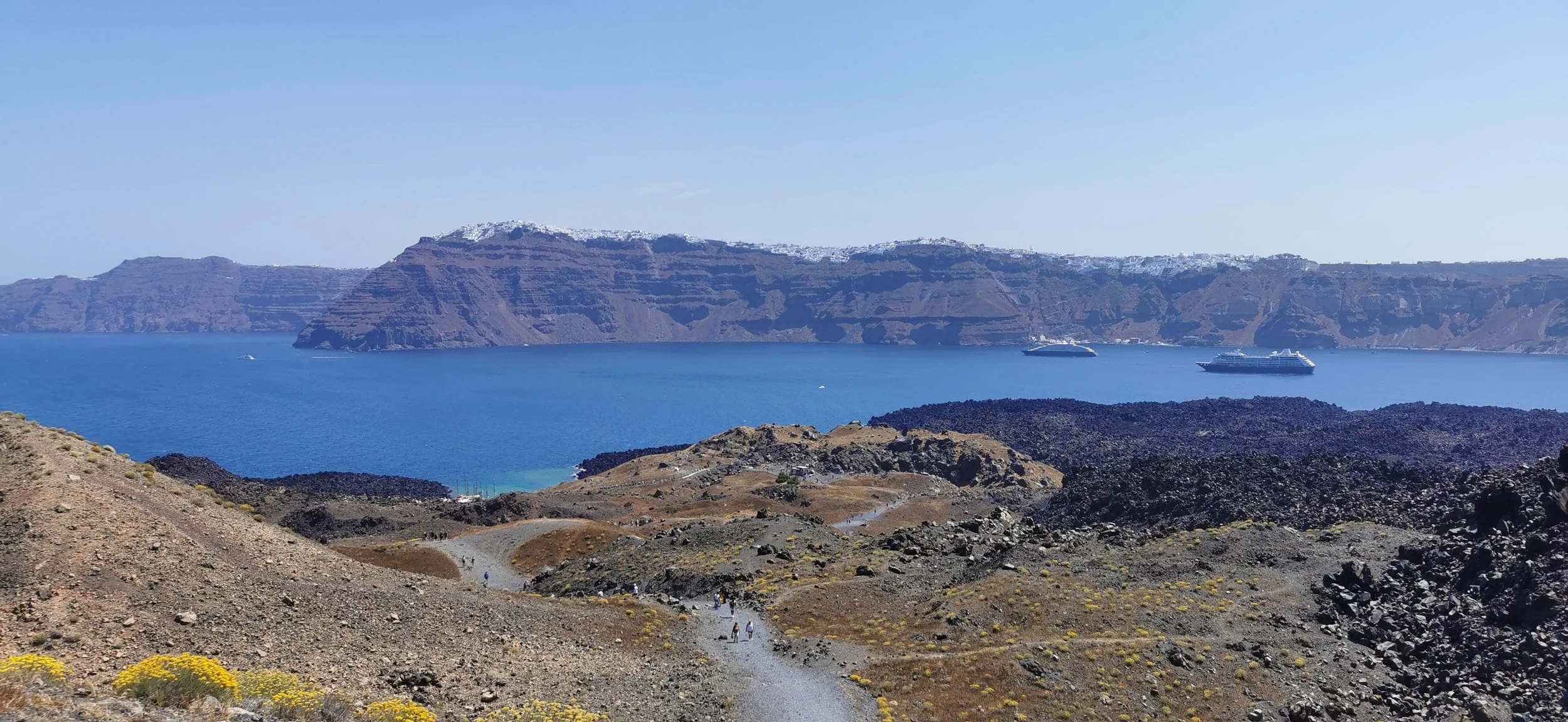
Santorini from the active vulcano Nea Kameni in the Centre of the Santorini Caldera. (Photo: C. Bonanati)

(a) Regional setting of the Southern Aegean Sea, showing the Hellenic Volcanic Arc. (b)The study area is shown as a Morphological Map of the Christiana-Santorini-Kolumbo Volcanic Field.
The extensive dataset of seismic reflection data used for the study covers the entire basin system adjacent to Santorini. The lines show the seismic profiles.
Dashed white rectangle indicates the location of the 3D view of Christiana shown in the Figure (g below).

Airgun for Seismic pulses, in the Santurini Caldera during R/V Poseidon Cruise 538 in 2019 (Photo: J. Karstens)

Basic application of seismic data acquisition in a marine setting (openlearn.open.ac.uk)

(a-c) Seismic profiles across the Christiana Basin, Christiana and the western flank of Santorini.
d) Map showing the thickness of Unit 4 and the location of the profiles. Toothed black line is the Christiana Fault. (e,f) Enlargements from the seismic profile shown in (b). (g) 3D view of the Christiana Edifice and the Christiana Fault scar (5 times vertically exaggerated)
For detailed figure descriptions and references see original article.